


Description

eXplorist 350H – Alaska Tested, Built for the Hunt
The eXplorist 350H is a powerful, rugged and waterproof (IPX-7) handheld outdoor GPS designed for the hunter. The 350H has an easy to use interface and is equipped with high–sensitivity SiRFstarIII GPS with 3-5 meter accuracy and dedicated hunt features that include over 30 hunt specific waypoints, preloaded GMU’s and WMU’s and a detailed base map with contour elevations for navigating in the backcountry. The Magellan eXplorist 350H also includes a free 1 year subscription to DigitalGlobe satellite imagery.
Additional Features
Navigate Back to Start – view tracks and leave digital bread crumbs; Track Summary – where you can start your journey with one click and keep tabs on useful statistics and with Suspend Mode plus the 2 double AA batteries included the 350H gives hunters 18+ hours of battery life to be the perfect tool before, during and after the hunt.

Pre-Loaded Maps
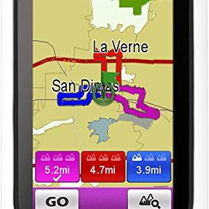
The eXplorist 350H includes a detailed pre-loaded base map with complete road network, city centers, land use, water bodies, trails and contour elevation overlays to help identify terrain features for easier navigation.

Hunting Specific Waypoints
No more typing to note what you are observing before or during the hunt. Select from over 30 different hunt specific waypoints that are split into Landmarks and Prey Tracking. Easily enter information crucial to a successful trip.

DigitalGlobe Satellite Imagery
Free 1 year subscription to DigitalGlobe. Download detailed imagery to your computer and scout hunting grounds for glassing locations, tree lines and more. Upload images into the 350H for reference when hunting. All satellite images are yours to keep even after the year is up.

GMU/WMU Hunting Areas
The eXplorist 350H has dedicated menu to select specific USA or Canadian hunting zones based on GMU & WMU supplied data for each state or province. Once a state or province is selected the GMU and WMU borders will be visible on the 350H map display.

Hunting Calendars
The 350H comes with a pre-loaded hunt calendar. Stay within legal hunting hours by knowing sunrise and sunset times. Identify moon phases to determine prime hunting days and see recommended hunt times based on the sun and moon’s affect on animal activity.

Boundary Alerts
Hunters can be notified if they are approaching or leaving a hunting zone. Boundary Alerts let’s you customize notification type and the distance from boundaries when an alert is sent. Eliminate costly fines by knowing where you are.
| Binding | Wireless Phone Accessory |
|---|---|
| Brand | Magellan |
| Is Adult Product | 0 |
| Is Autographed | 0 |
| Is Memorabilia | 0 |
| Label | Magellan |
| Legal Disclaimer | This product contains chemicals known to the State of California to cause cancer and birth defects or other reproductive harm. |
| Manufacturer | Magellan |
| Model | eXplorist 350H |
| Number Of Items | 1 |
| Package Quantity | 1 |
| Part Number | CX0350SGBNA |
| Product Group | Wireless |
| Product Type Name | GPS_OR_NAVIGATION_SYSTEM |
| Product Type Subcategory | 10701506 |
| Publisher | Magellan |
| Studio | Magellan |
| Title | Magellan eXplorist 350H Handheld GPS |
| Warranty | Comes with Manufacturer Warranty. |

Reviews
There are no reviews yet.